-
Start Date:
- December 2, 2020
-
Type of Project:
-
Theme of Project:
-
User group:
-
Project Scale:
-
Project Area:
- Sacramento
-
Funding:
-
Other Tags:
-
Location Description:
State Capitol
Story created by sacparkcity on December 2, 2020
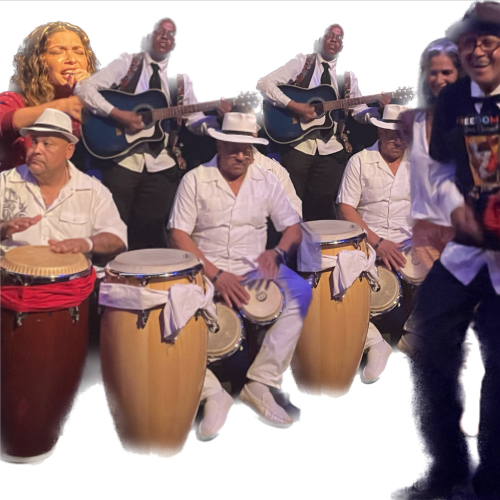
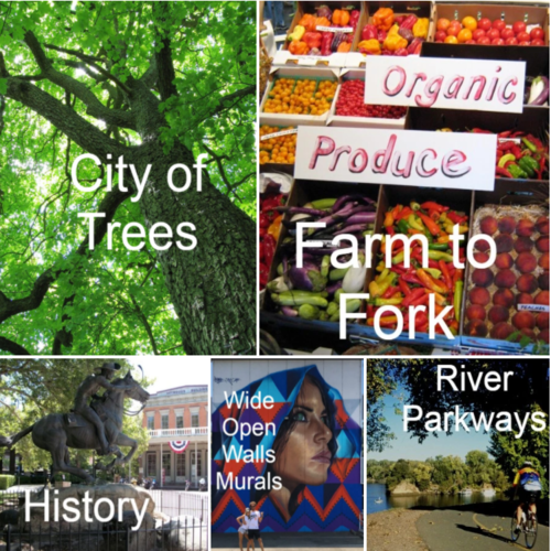
Your guide to Sacramento as a Park! Explore your neighborhood green spaces and art with this simple Google Map on your phone! Sacramento National Park City is a vision, place, and movement creating a greener, healthier, wilder, and more attractive future for Sacramento. This Sacramento Park City map is the primary piece of the place element where residents and visitors can explore and find the places that make Sacramento a National Park City.
Sacramento National Park City is a partnership of organizations that formed in spring 2020 and are working together on the vision and mission. Steve Schweigerdt founded the project as a volunteer and created the map, and he is working to get more poeple involved to form the movement, including adding features and content to the map. Contact him to help at info@sacparkcity.com.
So far the map includes parks with amenities, tree tours, Tree Heroes, many of the murals around the downtown core, and some of the community greening gardens in the city. We plan to continue adding features to the map to make it richer and better for residents to explore their own neighborhoods with attractions around every corner. Unexpected delights as we say! The features do not currently have much content like photos and descriptions, partially because the purpose is for you to go see the thing in person! Some of the murals do link to the mural page so you can learn about the artist and some of the tree icons have tree tours you can download from the Sacramento Tree Foundation website. Museums and gardens with pages also contain links.
We need to add attractions in the surrounding communities for our National Park City, both by identifying them on the map, but also by creating new green spaces and artwork that improve these communities. We need help with this effort, so please contact us to join in. In addition to existing attractions, we want the map to point out opportunity sites for community greening and artwork projects and plan to add those in the near future.
We also recently completed a River to River trail map that shows a green connection between out river parkways. The River to River trail has a printable PDF map that shows the route, attractions along the way, and local businesses that make good snack stops. We would like to create more of these instant urban trails that help people explore Sacramento neighborhoods. We hope to create some in the Florin Creek, Morrison Creek, Arden Creek, and Bannon Creek areas. We could use help with that too!